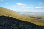
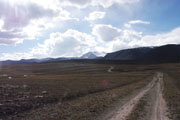
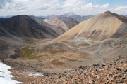
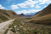
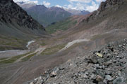
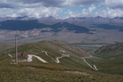
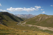
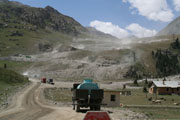
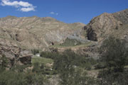
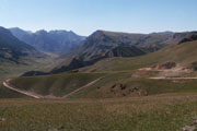
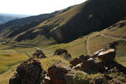
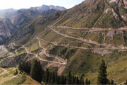
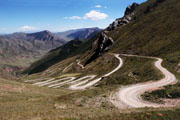
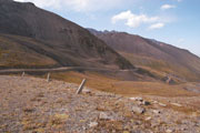
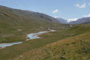
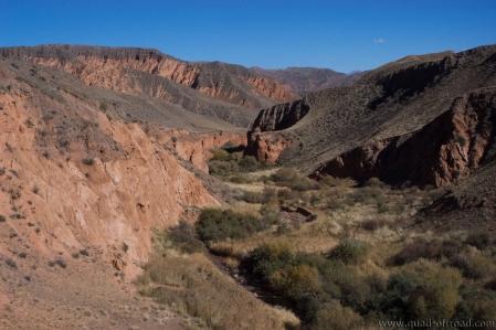
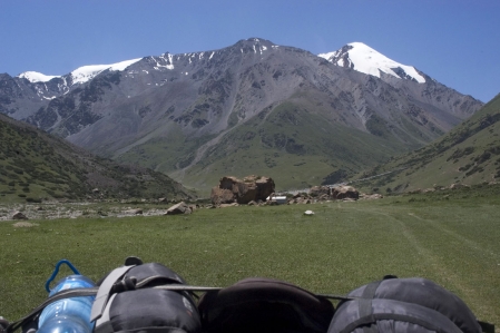
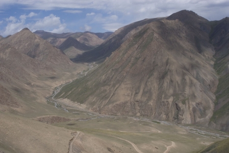
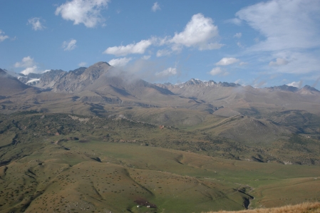
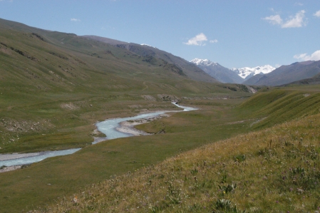
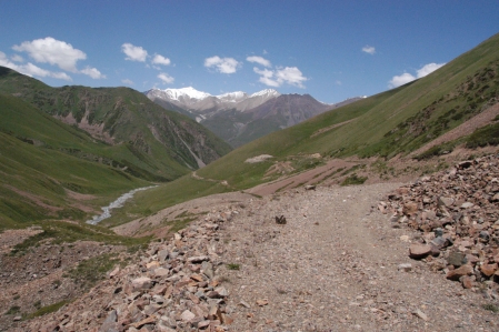
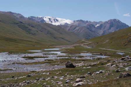
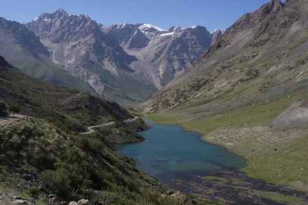
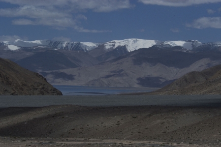
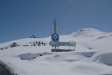
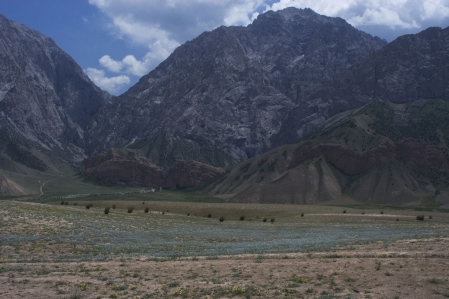
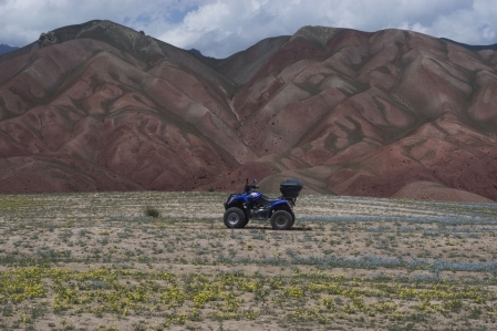
The Tian Shan Mountains (Sky Mountains) extends over the territories of China, Kazakhstan, Kyrgyzstan, Uzbekistan and Tajikistan. The highest mountain in Kyrgyzstan, the Pobeda Peak 7,439 m and a whole series of six and seven thousand meter peaks are in the Tian Shan Mountains. Also found in this region, some of the largest non-polar glacier. The high peaks of the Tian Shan mountain range are covered throughout the year with eternal snow and ice, there is also one of the biggest glacier areas of China.
The local sprung meltwater flows not a ocean of earth. The Tian Shan Mountains extend into Central Asia for more than 2,450 km from west to east. The foothills of the western chains ranging up to Tashkent the capital of Uzbekistan. In the East its extensions reach the edge of the Gobi Desert in China. In the north of China is the Taklamakan desert which occupies a large part of the region. On the north side of the desert, the Tian-Shan Mountains providing the forms a natural border with Kyrgyzstan. The highest peaks Pobeda Peak 7,439 m and Khan Tengri 6,995 m are located in the central Tian Shan Mountains, which belongs mainly to the Republic of Kyrgyzstan.
Mountain roads & Passes
Photo
Designation
Elevation
Coordinates
The Pamir is a mountain range in Central Asia, which is part of the roof of the world. Hundreds of kilometers stretches the Pamir Mountains of Central Asia. He has an area of about 120,000 km², of which 1,200 km² is covered by a glacier. The Pamir mountains are the second highest mountain range of the earth which is hardly touched by tourism. The four states that are located in this mountain range: China, Afghanistan, Kyrgyzstan and Tajikistan.
The mountains can be reached via the M41 Pamir Highway. The Pamir houses more than 5,500 species of plants and is home to rare species. Deep in the Tajik Pamir Mountains is the refuge of the rare Marco Polo sheep (Argali). Marco Polo, explorers of the world, was one of the first Europeans who crossed the Pamir Mountains.
Mountain roads & Passes
The Alay Mountains is a Central Asian mountains. The mountain range at an altitude of 5,544 m and a length of 400 kilometers. It stretches from west to east and partly forms a natural border between Kyrgyzstan and Tajikistan. The Alay Mountains, specifically the area around the glacier Dara-i-Pioz (Darai-Pioz), is a known reference for many minerals.
The Alay Mountains is a Cordillera in Kyrgyzstan, the West end is in Tajikistan, it is a part of the Pamir of Alay system. It forms the southern edge of the Fergana basin is separated from Transalai mountains by 150 km of Alai Valley. The desert-like, about 400 km long Alay mountain reaches 5,539 meters above sea level; 811 km² are glaciated, mainly in the higher western part. At its westende it forms a mountain knot, from which of the Serawschankette and Hissargebirge branch off. In the eastern part the Alay Mountains is crossed by the highway Osh Khorog (Taldyk Pass, 3,615 m). On the northern slope in Chaidarken significant mercury mine.
The Alai mountain range is an extension of the Tian-Shan Mountains. It is located in the south of Kyrgyzstan and the western part reaches up to Tajikistan. The average height of about 400 km long mountain range is 4,900 meters.


